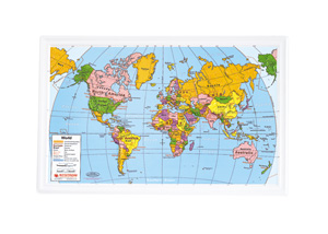
NOTEBOOK MAP
30 two-sided maps
Connect with a representative to create a custom curriculum for your district.
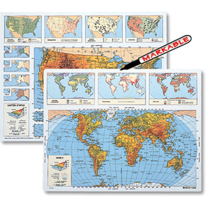
Put a three-hole-punched, laminated, double-sided map of the U.S. and the world in each student's notebook.
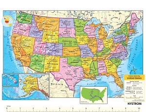
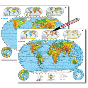
The full-color political map of the U.S. includes states, capital and major cities, points of interest, time zones, and latitude and longitude. Insets include a locator map, maps of Alaska and Hawaii, and a same-scale overlay of Alaska upon the continental U.S. The political world map is a Robinson projection showing capital and major cities as well as latitude and longitude. Insets display the north and south polar regions and a close-up of Europe.
| Size | 8½" x 11" |
|---|---|
| Publisher | Nystrom |
| ISBN | 9780782526172 |

