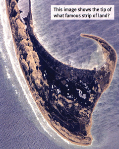
WHERE IS THIS?
A Satellite Photos Quiz Deck of Places in the USA
Flashcards
Connect with a representative to create a custom curriculum for your district.
Teach satellite photo interpretation through 48 flash cards with color pictures on one side and explanatory text on the other.
Pictures show natural and man-made landforms, national parks, famous cities, and natural processes (as in tornadoes, forest fires, and floods).
| Size | 3" x 4" |
|---|---|
| Publisher | GeoNova |
| ISBN | 9780764950490 |

